By Kelly Chen, Bernadette Tuazon and Benazir Wehelie
Updated 2215 GMT (0615 HKT) January 25, 2017
Chat with us in Facebook Messenger. Find out what’s happening in the world as it unfolds.
(CNN)On his sixth day in office, President Donald Trump signed executive orders to begin construction of a wall between the United States and Mexico, making good on a campaign promise. He also announced he will boost deportation efforts and beef up border patrol resources along the border.
The 1,933-mile barrier cuts through towns, rivers and desolate terrain and across California, Arizona, New Mexico and Texas. Here’s a look at how the US-Mexico border looks before the construction of the wall begins:
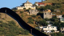

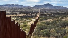
The border fence separates two sides of Nogales: Nogales, Mexico, on the right and Nogales, Arizona, on the left. In 2016, US Border Protection says it had 17,026 out of 19,828 agents posted along the Southwest border.
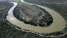
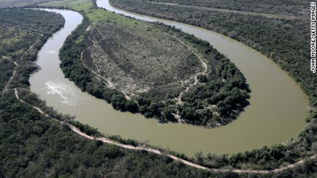
The Rio Grande snakes along the US-Mexico border on January 3, 2017, near McAllen, Texas. As CNN’s Gregory Krieg reported, „The Rio Grande is a natural border, has been since 1848, and the ties between cities and towns on either side are strong. Trade in the region is booming and citizens of both countries move between them with relative freedom.“
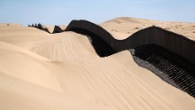
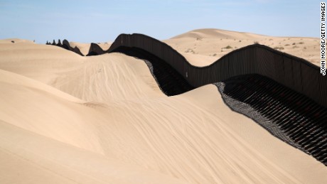
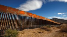
In California, part of the US-Mexico border fence snakes over sand dunes that sometimes wash over the fence.
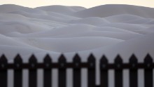
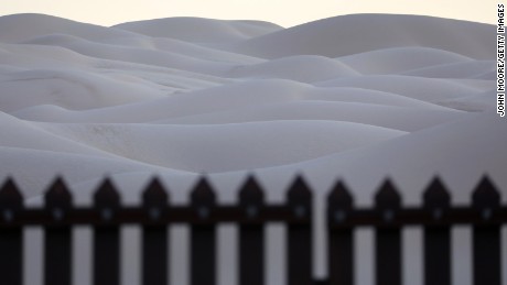
This 15-foot border fence that sits atop sand dunes at the Imperial Sand Dunes in California is known as the „floating fence.“ It moves with the sand as winds shift. According to Border Patrol agents, immigrants and drug smugglers attempt to cross here daily.
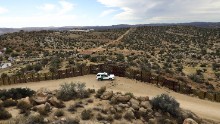
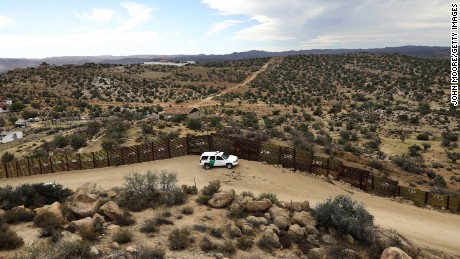
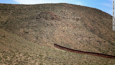
A US Border Patrol vehicle stands guard along the US-Mexico border on September 26, 2016, in Jacamba Hot Springs, California. According to a Congressional Research report, the first fencing was constructed near San Diego in 1990.
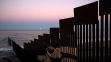
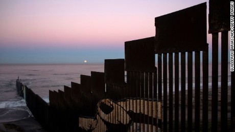
In Tijuana, Mexico, the fence stretches into the Pacific Ocean. On November 14, 2016, a „supermoon“ set behind the US-Mexico border fence during its closest orbit to Earth since 1948.
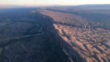
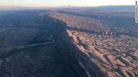
The scenic mountains, canyons, and desert that make up the Big Bend region on the west Texas-Mexico border spans an elevation of less than 1,800 feet along the Rio Grande to nearly 8,000 feet in the Chisos Mountains.
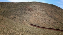
The fence along the nearly 2,000-mile border is not contiguous. Here is an abrupt gap in the fence in Jacumba, California.

A general view shot from the Mexican side shows a newly built section of the border fence at Sunland Park, New Mexico, opposite Ciudad Juarez, Mexico, in November 2016.
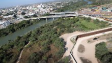
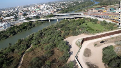
In Hidalgo, Texas, the border fence runs by a bridge that connects the United States and Mexico.

In Sasabe in Mexico’s Sonora state, the border runs through a stretch of desolate terrain, where officials say hundreds of migrants try to cross daily.
Read more:
In the shadow of Trump’s wall
Building Trump’s wall: For Texans, it’s complicated
The many challenges facing Trump’s wall
Building Trump’s wall: For Texans, it’s complicated
The many challenges facing Trump’s wall


